At present, there is a poor understanding of population exposure in some Official Development Assistance (ODA) countries, which causes major challenges when making Disaster Risk Management decisions. Modeling Exposure Through Earth Observation Routines (METEOR) takes a step-change in the application of Earth Observation exposure data by developing and delivering more accurate levels of population exposure to natural hazards. Providing new consistent data to governments, town planners and insurance providers will promote welfare and economic development in these countries and better enable them to respond to hazards when they occur.
METEOR is funded through the second iteration of the UK Space Agency’s (UKSA) International Partnership Programme (IPP), which uses space expertise to deliver innovative solutions to real-world problems across the globe. The funding helps to build sustainable development while building effective partnerships that can lead to growth opportunities for British companies. METEOR aims to formulate an innovative methodology for creating exposure data through the use of EO-based imagery to identify development patterns throughout a country. Stratified sampling techniques harnessing traditional land use interpretation methods modified to characterize building patterns can be combined with EO and in-field building characteristics to capture the distribution of building types. These protocols and standards will be developed for broad application to ODA countries and will be tested and validated for both Nepal and Tanzania to ensure they are fit for purpose.
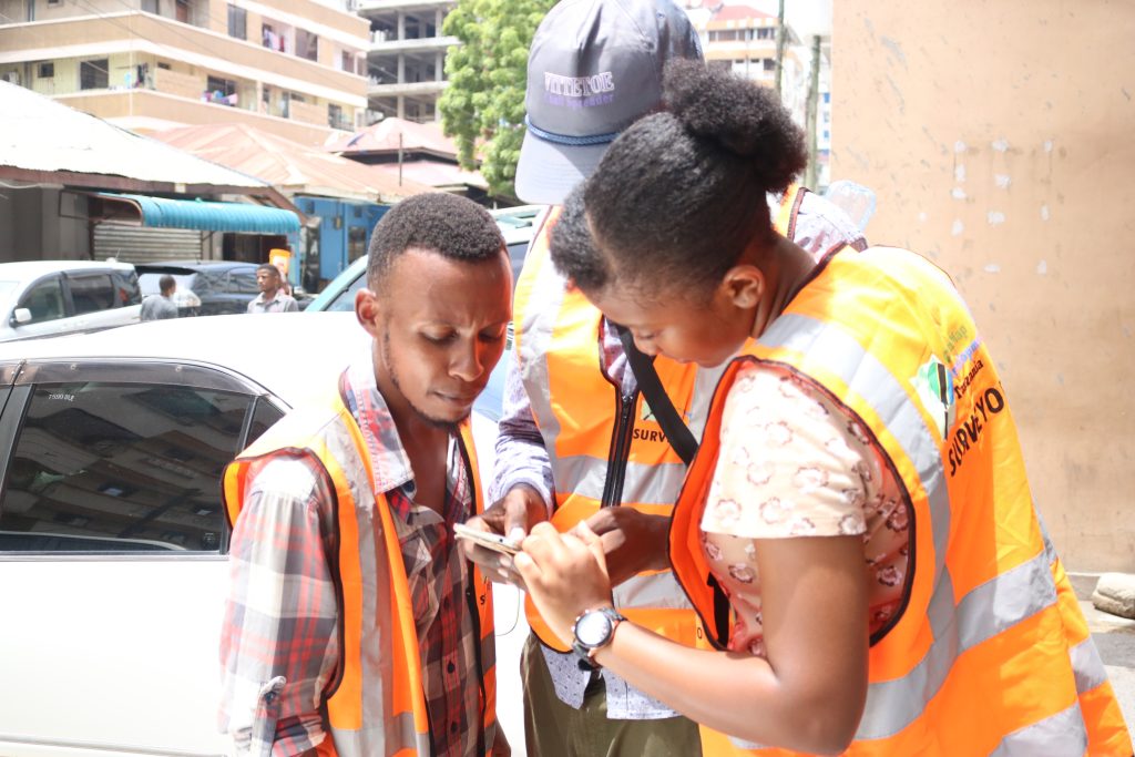
Detailed building data collected on the ground for the cities of Kathmandu (Nepal) and Dar es Salaam (Tanzania) will be used to compare and validate the EO-generated exposure datasets. Objectives of the project look to deliver exposure data for 47 of the least developed ODA countries, including Nepal and Tanzania; create hazard footprints for the specific countries; create open protocols to develop critical exposure information from EO data; and capacity-building of local decision-makers to apply data and assess hazard exposure.