Since 2015, the World Bank has been supporting efforts to collect geospatial data for
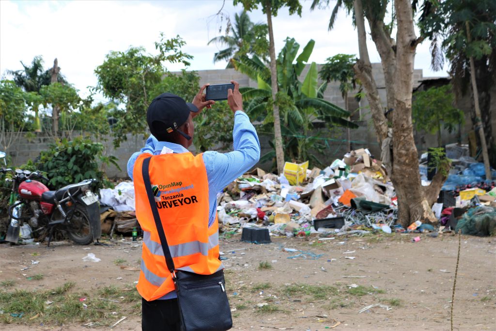
urban resilience through the Tanzania Urban Resilience Program. In 2022, Open Map
Development Tanzania, in collaboration with Resilience Academy, worked with
university students to support data collection to inform opportunities and suitability
of urban greening, Sustainable Urban Drainage Systems (SuDS), and open space
development across Dar es Salaam through World Bank funding.
The project aims to collect geodata to assist with the issue of sustainable urban
development in Dar es Salaam by identifying opportunities for public landscaping and
urban forestry projects that can create benefits in urban environments. Data collected
include grasslands, open spaces, parks, forests, private gardens, drainage, etc.
The survey was conducted by 20 university students who collaborated with
community members to collect the data. Before field mapping, we conducted a
two-week training for student mappers to make sure they were conversant with the
field methodology and the type of data to be acquired.
Open source tools were used for data collection including the Open Data kit, and
OSMand+ (open street Map) to show a direction to the specific objects in which data
should be collected. For analysis and visualization, the team uses QGIS.
Data collection covered 15 sampled areas in Dar es Salaam City, representing six
settlement characteristics i.e residential (planned and unplanned), Planned and
unplanned residential were further divided into high, medium, and low-population
density categories.